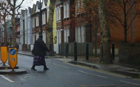
Gypsy and Traveller settlements and facilities in south west London are being charted in an online interactive map.
The interactive map, designed by Mapping For Change in partnership with London Gypsies and Travellers (LGT), aims to work with both local authorities and members of the Gypsy and Traveller community to more accurately map the community across London.
Ilinca Diaconescu, policy officer at LGT, said that inspiration for the map came from the need to have an accessible resource for Gypsy and Traveller community members to find and input information about services in their local area that they need, as well as comments about how these could be improved.
Ms Diaconescu said: “There is a lack of consistent data collection about the community at different levels of government and public service.
“In a recent initiative by the government, a website called ‘Ethnicity facts and figures, there is very little information about Gypsies and Travellers.”
According to Ms Diaconescu this lack of information is ‘mainly around education issues’.
The lack of data around the numbers of Gypsies and Travellers in London has led to uncertainty around how many of them there are, which in turn impacts how local authorities and the government plan for them.
The 2011 census was the first census to have a Gypsy/Traveller ethnicity option.
In London only 8200 people self-identified as Gypsy or Traveller, considerably lower than the estimate on the LGT’s website of around 30,000.
Overall 57,680 people self-identified as Gypsies and Travellers in the 2011 census.
However, the 2006 Common Ground report put together by the Commission For Racial Quality estimated the number of Gypsies and Travellers in the UK to be between 200,000-300,000.
In south west London the interactive map charts the Trewint street site in Wandsworth, Lathams Way in Croydon, Lonesome depot (pictured) on the Mitcham-Streatham border as well as the Brickfields traveller site in Merton among others.
Information in the map is presented under different categories, such as services that are available or that have been lost, along with comments and experiences of those services.
Users can look up a place, keyword or browse through the categories to find out information about services and facilities they are interested in such as housing, education, advice, work, leisure, culture, community places, and community businesses.
They can then click on an icon and get a range of additional information what services are offered, who are the contact details as well as videos, photos and comments associated with that place.
Users can also add comments about their experiences using these services and facilities in the form of an audio, video, photo, text.
The LGT encourage map users from the Gypsy and Traveller community and from local authorities and public service providers to add contributions to the map, for instance around services they use or offer.
Ms Diaconescu said: “This is essential as the content of the map and the information available depends on people’s participation.”
Ms Diaconescu said that another reason for the map is that the caravan count, a bi-annual process whereby the government counts the number of gypsy and traveller caravans across the UK, fails to account for the settled gypsy and traveller population.
She added that in London 80% of the Traveller and Gypsy population live in social housing which prevents them from being counted in the caravan count.
Mapping for change, the LGT’s partner in the project is a wholly owned subsidiary of University College London.
The first part of the project involved collecting existing sources of data and to use them to create maps that illustrated different statistics around accommodation, health and unemployment.
This set of maps was used as part of the evidence base for the mayor of London’s draft London plan for caravan pitches for the city’s traveller and gypsy population.
Ms Diaconescu said that this is because many Travellers and Gypsies hide their identities when interacting with public institutions and the outside world for fear of discrimination.
Another aim of the map is to support and mobilise members of the Gypsy and Traveller communities to identify common concerns in their local areas and campaign for equality and services that better meet their needs.
Ilinca hopes that through interacting with the map local authorities and public services will understand more about Gypsy and traveller communities and can help support greater inclusion and challenge negative stereotypes.
Launched a month ago, the map is in its early stages.
They have been updating the map to show basic information for each of the local authorities, including the location of traveller and gypsy sites, how people can register for a pitch, community places, and information about support organisations.
Ms Diaconescu said: “Community contributions have come through a number of workshops and we are developing a series of videos explaining how to use the map for different purposes.
“There have been some contributions from local authorities.”


